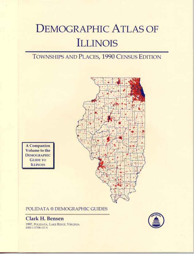
DEMOGRAPHIC ATLAS OF FLORIDA
County Subdivisions and Places, 1990 Census Edition.
|
by Clark H. Bensen.
POLIDATA ® DEMOGRAPHIC & POLITICAL GUIDES
|
|||||||||||||||||||||||||||||
|
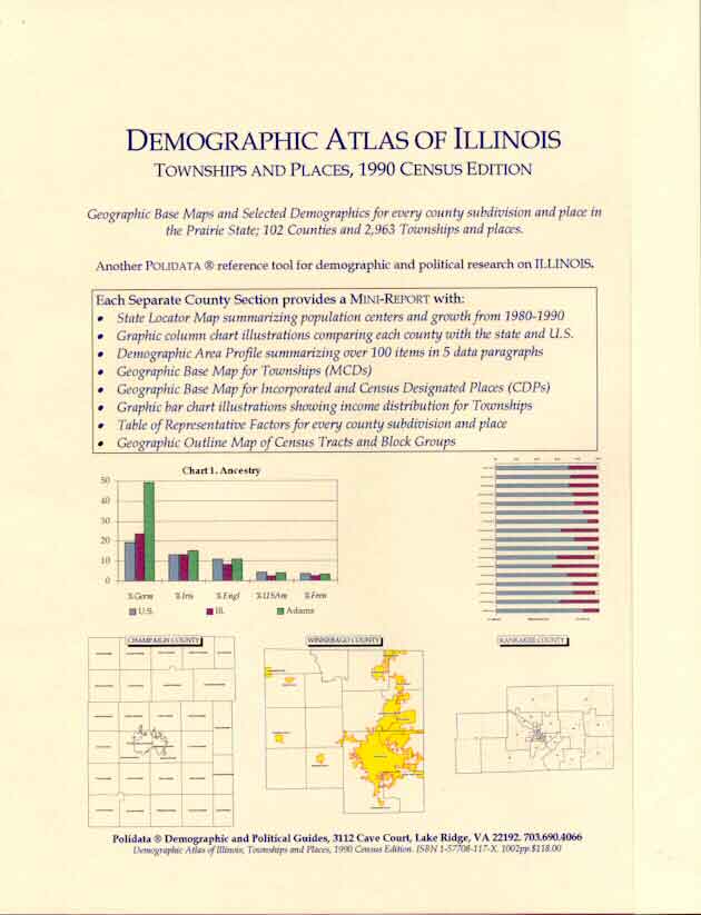
Separate Mini-Reports for ALL 67 COUNTIES in the Sunshine State.
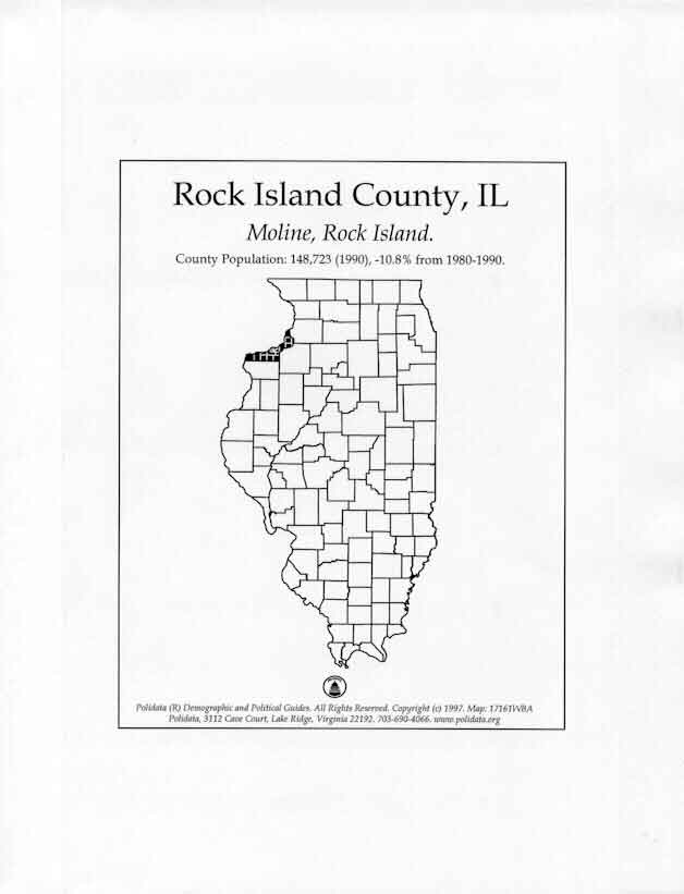
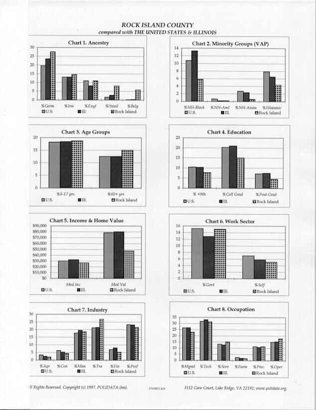
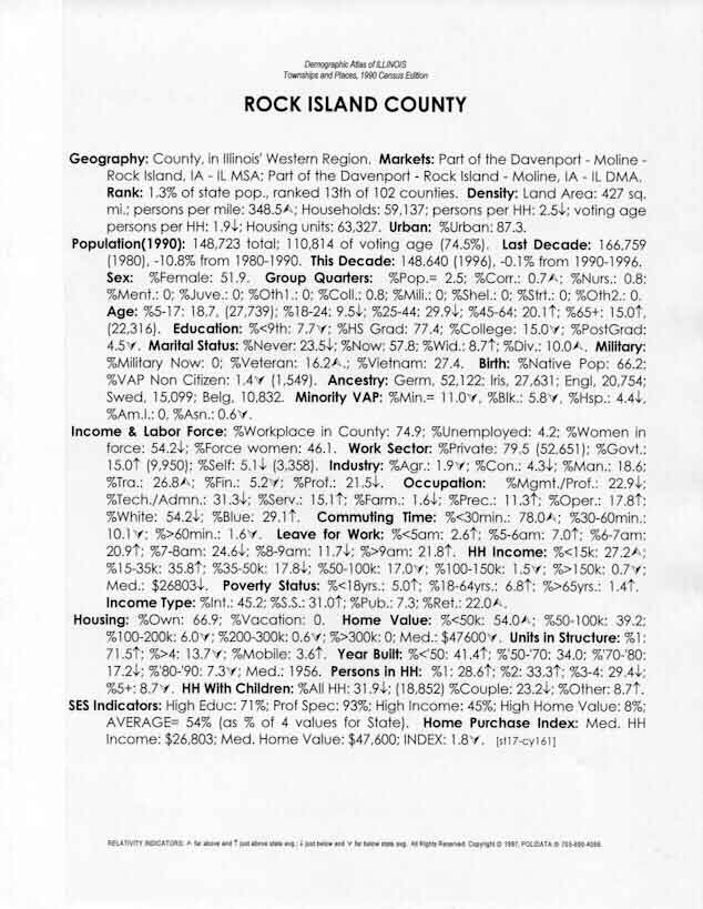
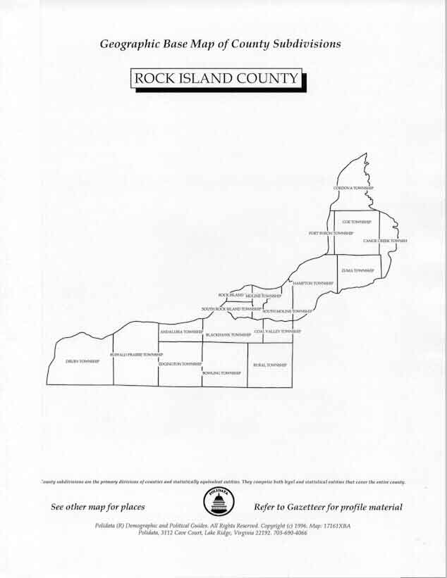
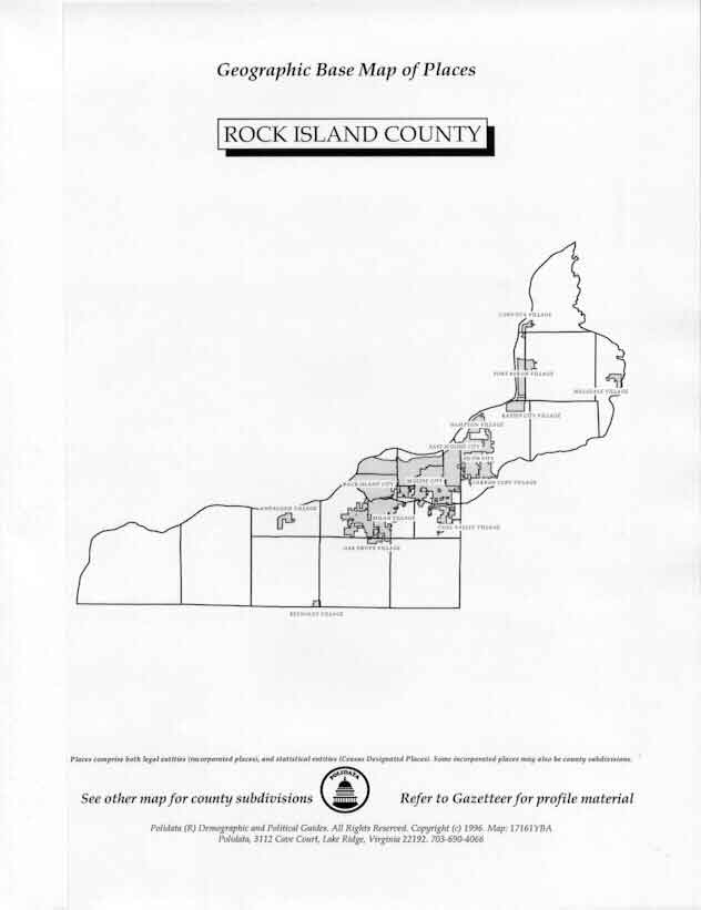
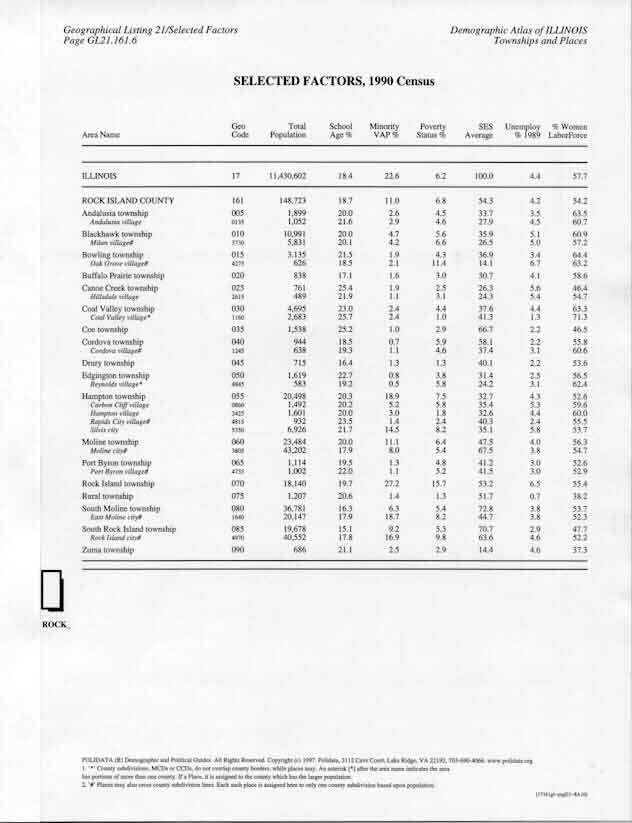
Geographic Base Maps and Selected Demographics for every county subdivision and place. | |||||||||||||||||||||||||||||
|
|
|
|
|
||||||||||||||||||||||||||
|
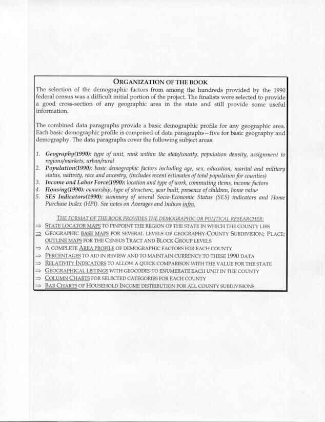
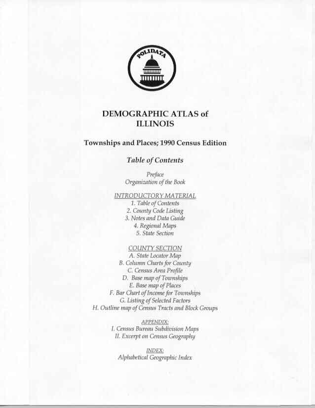
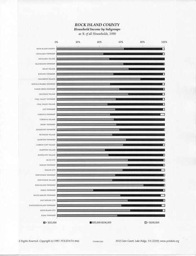
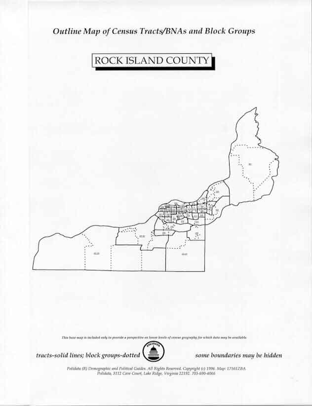
4. Samples pages are for the state of ILLINOIS. |
|||||||||||||||||||||||||||||
|
|
|
|
|
|
|
|
|
|
|
|
Click on THUMBNAILS for 3/4 size images. For Nationally Oriented Publications and an Online Library of Demographic and Political Information,
visit the POLIDATA Home Page at http://www.polidata.org
FOR AN ORDER FORM FOR FLORIDA
Copyright © 1998, Clark H. Bensen. All Rights Reserved. email: chb@polidata.org.
POLIDATA ® Demographic & Political Guides / Clark Bensen / 3112 Cave Court, Suite C / Lake Ridge, VA 22192 url: http://www.polidata.org/states/fldom.htm updated: 1999-May-3