ELECTION MAPS FOR SALE-PRESIDENT BY COUNTY for 1996

RED FOR REPUBLICAN, BLUE FOR DEMOCRAT

PRESIDENT 1996, Map 1-C
Winner by County
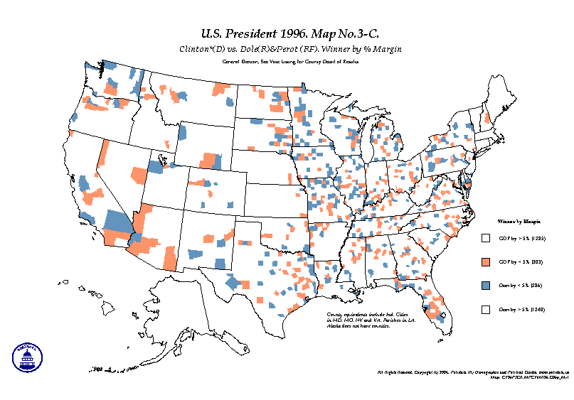
PRESIDENT 1996, Map 3-C
Winner by % Margin
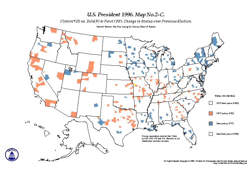
PRESIDENT 1996, Map 2-C
Change in Win Status over Previous Election
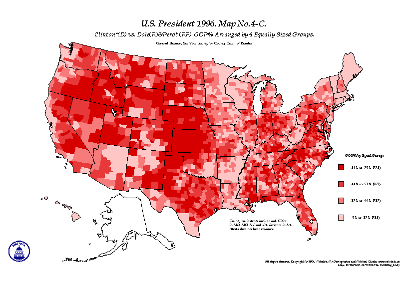
PRESIDENT 1996, Map 4-C
GOP% by Five Equal Groups
OPTIONS FOR COLOR MAPS:
  1. LETTER (State Maps): any one map on a sheet of letter-size 11x8.5 inch paper (landscape)
  2. TABLOID (County Maps): any one map on a sheet of tabloid-size 17x11 inch paper (landscape)
  3. OPTIONS: County Maps may be printed on letter size or State Maps may be printed on tabloid size.
PRICING FOR MAPS:
  1. LETTER (State Maps): $5.00 per map (1 sheet on color laser)
  2. TABLOID (County Maps): $10.00 per map (1 sheet on color inkjet)
SHIPPING/HANDLING:
  • LETTER SIZE: $4.00 for USPS Priority Mail shipped flat.
  • TABLOID SIZE: $10.00, includes USPS Priority Mail and mailing tube.
  • SALES TAX: please add 5.0% for shipping to VA addresses.
  • MINIMUM ORDER: $20.00 before S/H.
  • DISCOUNT: deduct 20% for all maps above 4 in number.

COPYRIGHT © 1994-2005, Clark H. Bensen. All Rights Reserved. POLIDATA ® Demographic & Political Guides


Contact information. EMAIL: info@polidata.org.
HOME: www.polidata.org. THIS: www.polidata.org/maps/cy96pr.htm updated: 2004-nov-06